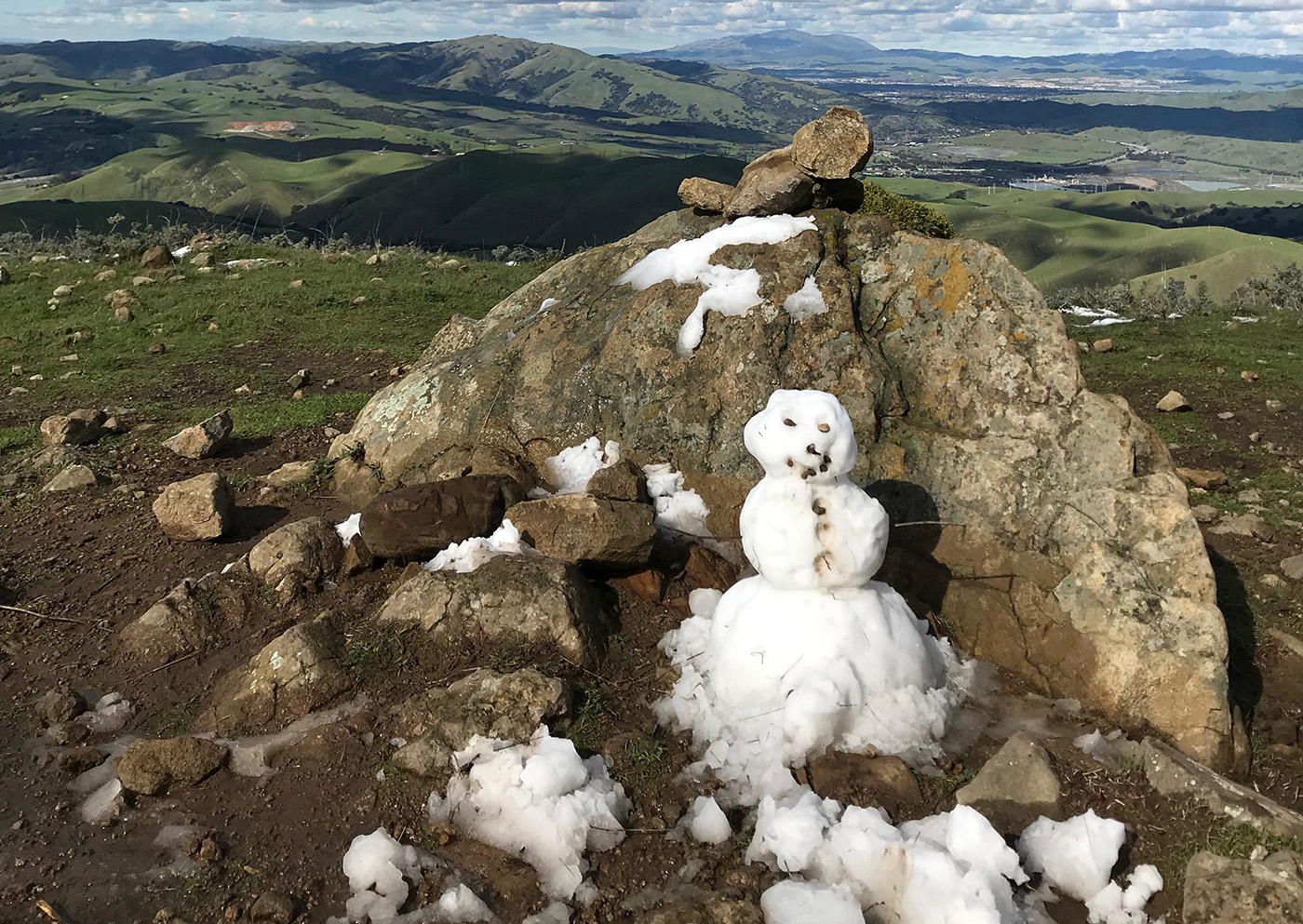
With temperatures reaching the low 30’s earlier this week, San Luis Obispo experienced snow and snow flurries around the county.
While videos of snowfall in the county have circulated social media, John Lindsey a marine meteorologist for PG&E and Cal Poly alumnus, said snow is common in the county depending on where you look.
Snow flurries can occur along higher peaks around the country, but for it to be categorized as snow and not a snow flurry, the snowfall must reach 1/10 inch. For snow to accumulate and reach the level of categorization of snow, the amount must be higher than has been seen around the county this week.
“Most of the time, none of it sticks to the ground. It is a mix between rain and snow,” Lindsey said.
Jim Shivers, public informations officer for Cal Train along San Luis Obispo and Santa Barbara said the maintenance staff was involved in placing sand on the roadway because of icy conditions.
While videos and photos of “snow” circulate social media, Lindsey said the county experiences some degree of snow flurries every one to two years.
While temperatures are low along the Central Coast, Lindsey said the long term national trends point towards warming temperatures.
“Snow will become a rarer event going into the future. The occurrences will decrease,” Lindsey said.
Whether the lower temperatures have resulted in snow or snow flurries, according to Lindsey, arctic amplification will cause similar reports of snowfall to be much less common if not nonexistent in the future.

