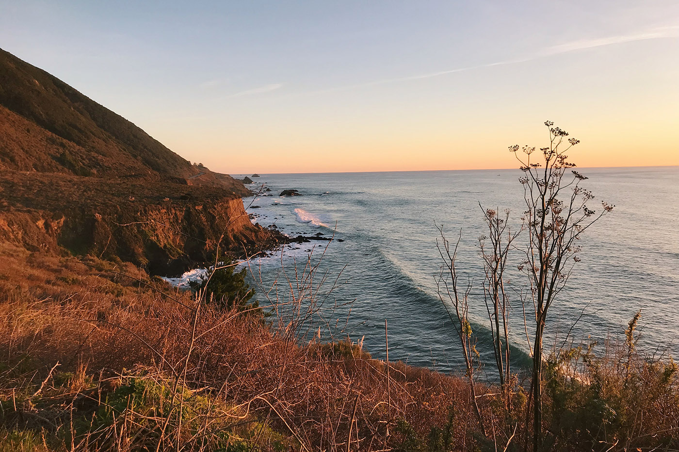
With winter approaching and the start of “significant rainfall,” Caltrans temporarily closed Highway 1 south of Big Sur at Mud Creek and Paul’s Slide Sunday, Dec. 1.
Caltrans announced earlier this year that they would close roads once “significant rainfall is forecast by the National Weather Service (NWS).”
Caltrans defined the closures as a safety measure for the public, banning motorists from the stretch of highway between Mud Creek and Paul’s slide — which is approximately 8.9 and 21.6 miles north of Ragged Point.
This will prohibit any road trips from San Luis Obispo County to Monterey County along the coastal stretch of Highway 1.
Business along the Big Sur Coast on Highway 1 will remain open during the road closures and are accessible via highways 101, 68, and 46.
“We ask for the community’s patience during these closures,” said Caltrans District 5 Director Tim Gubbins. “We will strive to clear the highway and reopen Highway 1 as quickly as possible when it is safe to do so.”
Caltrans officials encourage motorists to consult the Caltrans Quick Map for the latest Highway 1 closure information as well as information for all state highways during the wildfire and mudslide season.
How the Highway 1 closures work
Gates installed on either side of Mud Creek and Paul’s Slide have been locked and unmanned during the highway closure.
No persons, including law enforcement, emergency services or Caltrans employees, are allowed access to the highway until a proper assessment is made and any necessary clean-up is completed.
Caltrans said they will have their geotech, maintenance and construction units on call, prepared to inspect and clear roads of debris during daylight hours as soon as the storm ends and conditions are safe.
They expect the inspection to occur Wednesday, Dec. 4. However, another storm system is forecast to begin the evening of Thursday, Dec. 5, according to the news release.
Caltran’s goal is to open the roadway as quickly and safely as possible until a proper assessment is made, though staff remains on-call 24/7, according to the news release.
The next update will be announced Dec. 4.
A history of landslides and road construction
The heavy rainfall in the winter months of 2017 resulted in “significant landslide movement” in several areas of Highway 1, which is why Caltrans decided to take precautionary steps in closing roads this year, Gubbins said.
Mud Creek and Paul’s Slide have re-established a new route over both landslides, though restoration projects are ongoing.
“Continued movement of the newly-formed slopes and landslide features are expected,”according to the news release. “Closing the highway during significant rainfall is necessary for the safety of travelers and [Caltrans] workers.”
The landslide at Mud Creek took place May 20, 2017, resulting in movement of over 6 million cubic yards of land material.
The new highway Caltrans built extends 250 feet upwards from the original and is 150 to 250 feet above sea level. The new roadway is on the middle portion of the landslide material on a compacted embankment on the south and north ends.
However, natural slopes remaining from the landslide as well as “engineered slopes above and below the roadway” are anticipated to undergo significant erosion and movement as the new landmass matures, according to the news release.
Paul’s Slide has been active since January 2017 with stabilization measures complete — this includes additional catchment and temporary stabilization of the Hermitage Wall.
Caltrans expects to reopen the road to two lanes, rather than one, at Paul’s Slide in December. Workers will turn off the signal equipment but leave it in place to allow a quick reactivation if necessary.

